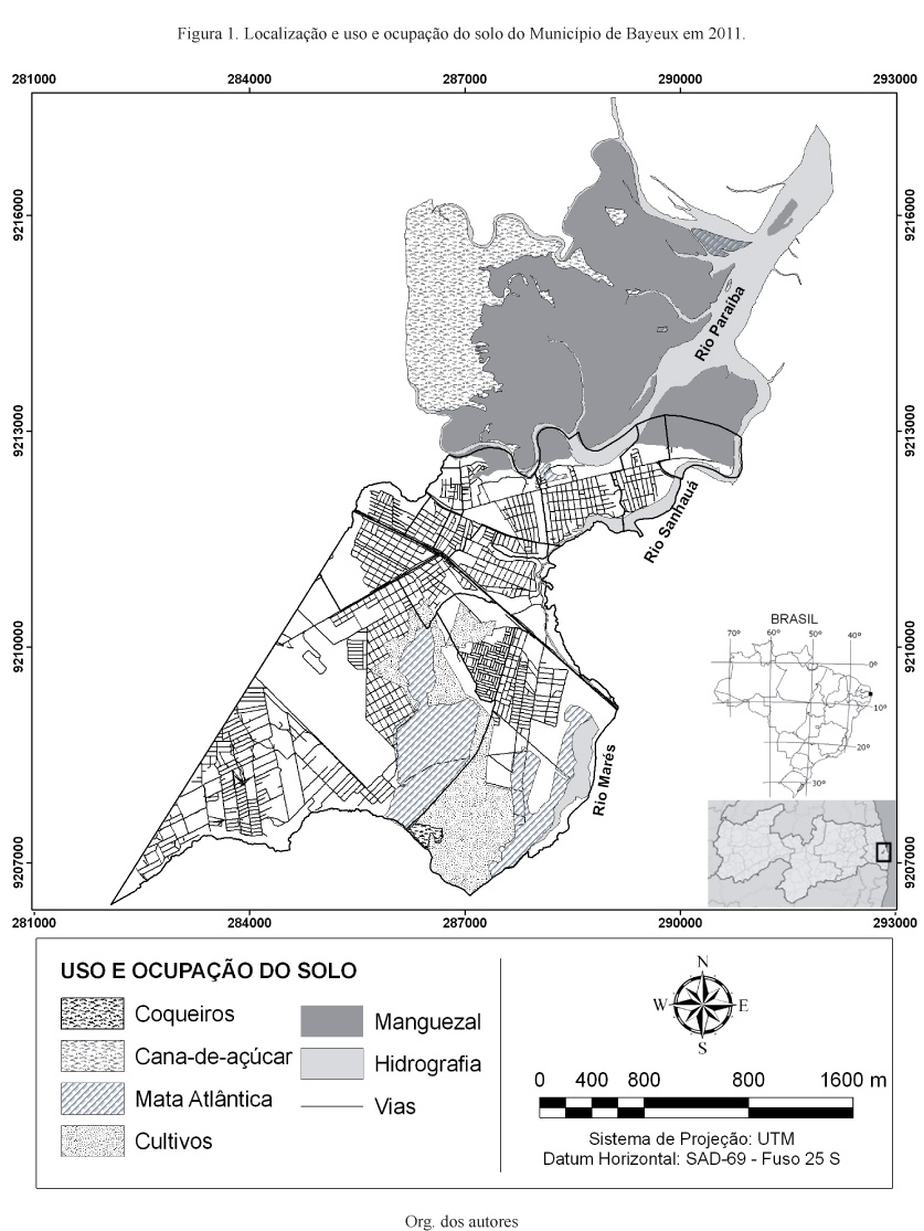
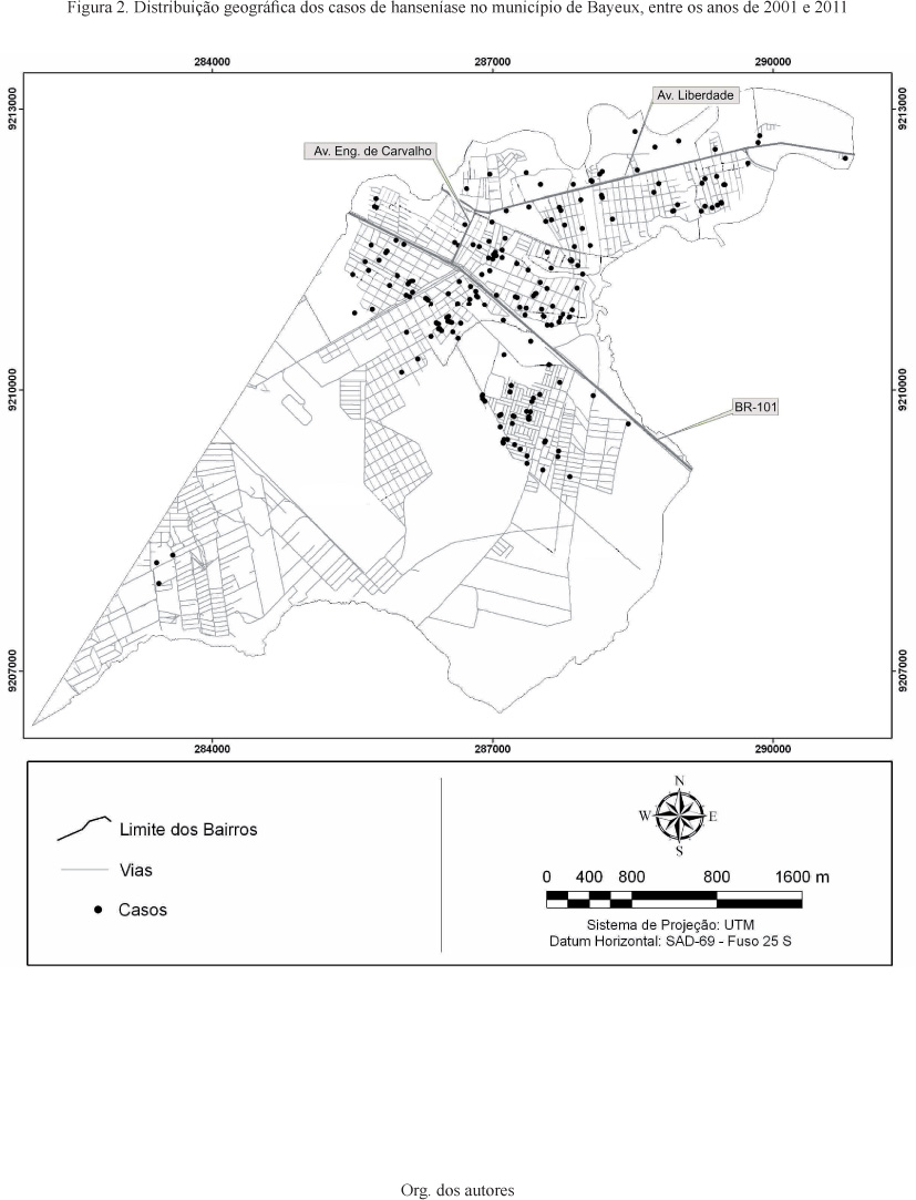
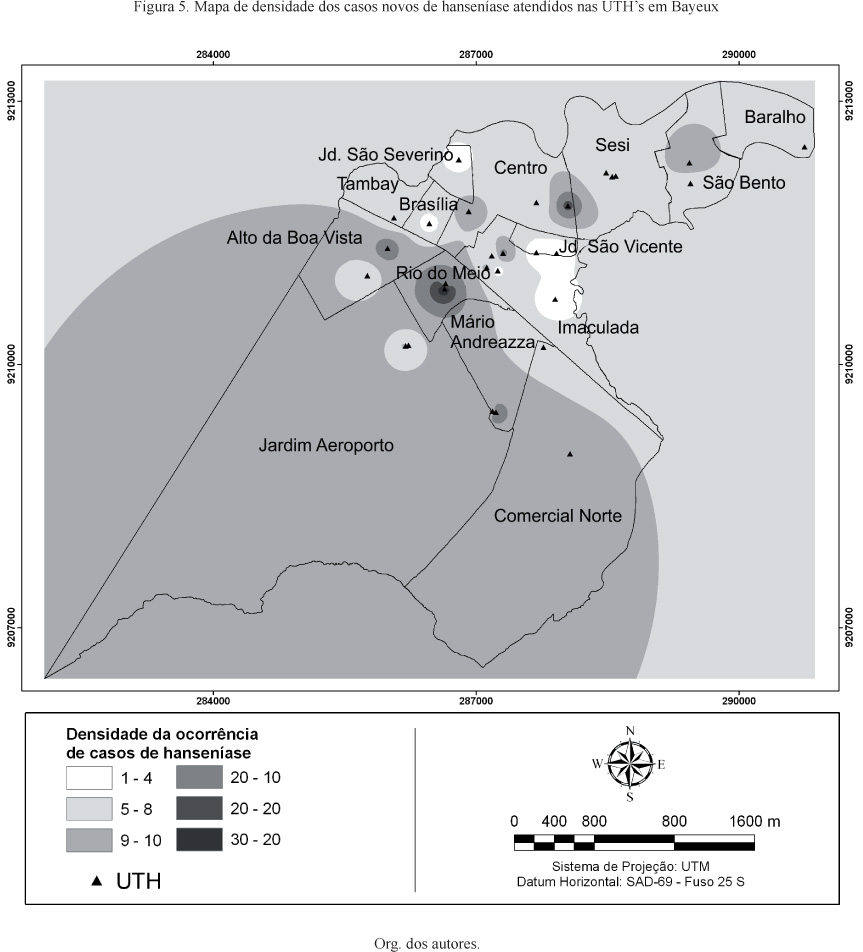
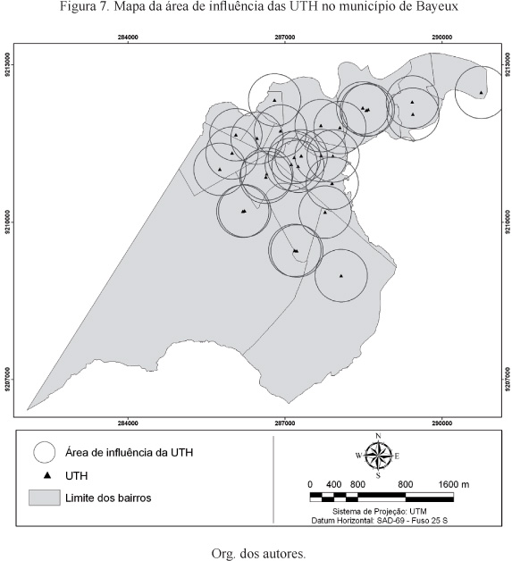
Current society creates risks that affect the population unequally, and in the Brazilian municipality of Bayeux, located in Paraíba State, between 2001 and 2011. The disease incidence data were statistically analyzed and mapped through techniques of GIS and field trips using GPS. The results showed that the affected cases were found distributed in almost all parts of this urban area, and its most significant presence in the neighborhoods of Rio do Meio (32 cases - 15.2%), Centro (29 cases - 13.7%), Imaculada (28 cases - 13.3%) e Mário Andreazza (28 cases - 13.3%). The study of the spatial distribution of leprosy using GIS techniques proved to be effective and valuable to mapping of cases in the Bayeux and for for understanding the epidemiological and the ordination of actions in order to block the spread of the disease.
Geotechnologies; leprosy; Health Geography